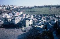
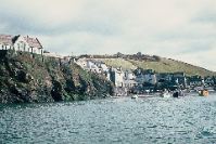
1. View of the lower village, Town Platt and foreshore as seen from Roscarrock Hill
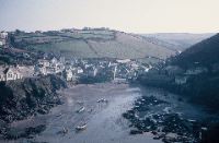
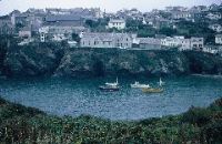
2. The village and harbour as seen from Lobber Field
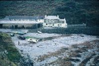
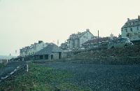
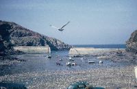
3. The beach at Port Gaverne
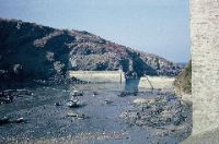
4. The harbour, with the breakwaters and Lobber Cliff
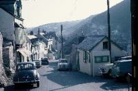
5. Fore Street, with Church Hill in the background
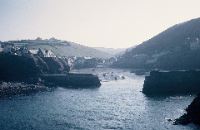
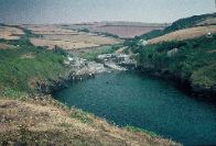
6. The harbour entry as seen from Lobber Point
7. Church Hill, with the primary school and harbour in the background
8. The Terrace
9. Port Quin harbour at high tide
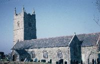
10. The church at St Endellion
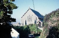
11. St Peter’s church, Port Isaac, as seen from Trewetha Lane
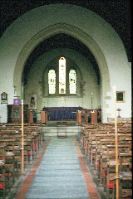
12. The interior of St Peter’s church

13. Lower New Road and the Church Rooms
14. The harbour, with the primary school on the left
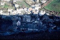
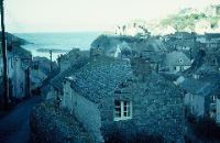
15. Downtown Port Isaac
16. The harbour at low tide

17. The breakwaters at low tide
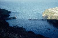
18. The harbour
19. The school viewed across the harbour from the allotments below Khandalla