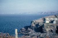
40. The outer harbour cliff and a view of Port Isaac Bay looking towards Tintagel Head
41. “Grandma’s Chair” on the coat above Port Gaverne
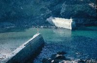
42. The breakwaters
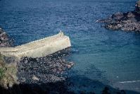
43. The western breakwater
44. Khandalla viewed across the primary school playground and harbour from number 7, Canadian Terrace
45. The Port Gaverne harbour and slate jetty at low tide
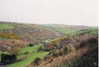
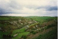
46. The Port Isaac valley with the Old Mill
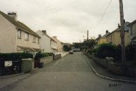
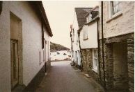
47. The inner dogleg of Hartland Road, with “New” council houses on the left and “Middle” council houses on the right
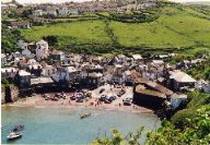
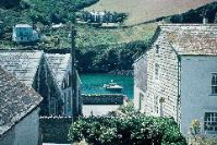
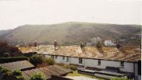
48. Downtown Port Isaac, with the spreading estate on the skyline
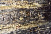
49. “CM 1699” inscription on a rock face on the Pine Awn side of Lobber Point
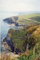
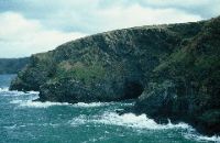
50. A view from Crowser Cove (foreground) looking east to Lobber Point
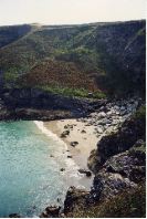
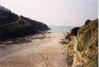
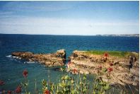
51. Varley Sands in the lee of Varley Head
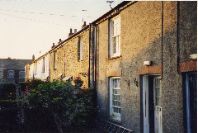
52. A front view of Canadian Terrace
53. The Port Isaac valley at may blossom time
54. Lower Middle Street looking towards the Town Platt and the harbour
55. The Port Gaverne Main with Castle Rock and the Gut, Port Isaac Bay and Tintagel Head
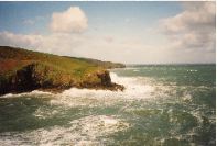
56. Rough seas at Lobber Point looking towards Varley Head
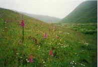
57. Foxgloves and marguerites at St Illick’s Well near Port Gaverne
58. A rear view of Canadian Terrace
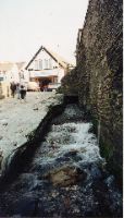
59. The Port Isaac Lake (stream) flowing in between Pawlyn’s fish cellars wall and the lifeboat slipway by the Town Platt.